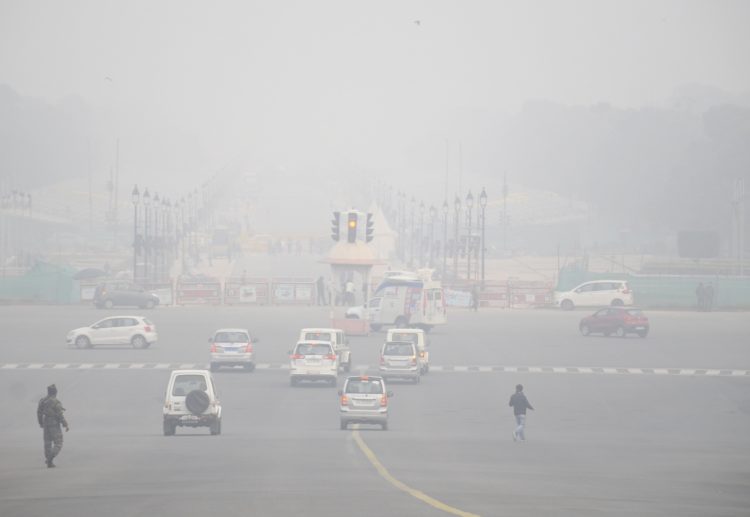
New Delhi: The India Meteorological Department (IMD) on Friday said the wet spell over east India and coastal Andhra Pradesh would continue during next two days and decrease significantly thereafter while dense to very dense fog would continue over north India during next 4-5 days.
The IMD also predicted cold day conditions over northwest India for the next two days.
A trough runs from north interior Karnataka to north interior Odisha in lower tropospheric levels and there is a cyclonic circulation over south Konkan in lower tropospheric levels, under the influence of which, the IMD said, there would be scattered to fairly widespread light/moderate rainfall very likely over coastal Andhra Pradesh till January 16 and isolated to scattered light/moderate rainfall over Marathwada, Vidarbha, Chhattisgarh, and Telangana on Saturday.
On Saturday, isolated light/moderate rainfall is very likely over sub-Himalayan West Bengal, Sikkim and Jharkhand, isolated thunderstorms with lightning/hail very likely over sub-Himalayan West Bengal and Sikkim and isolated light/moderate rainfall over Arunachal Pradesh, Assam, Meghalaya, Nagaland, Manipur, Mizoram, and Tripura.
Under the influence of a cyclonic circulation over southwest Bay of Bengal and another over south Tamil Nadu in lower tropospheric levels; isolated light rainfall/thundershower is expected over Tamil Nadu, Puducherry, Karaikal, Kerala, and Mahe during next 4-5 days.
Two fresh Western Disturbances are very likely to affect northwest India, the first from January 16, which is likely to cause isolated to scattered precipitation on January 16 and 17; while the second would be from January 18 and is likely to cause light/moderate scattered to fairly widespread precipitation over Western Himalayan Region and light isolated to scattered rainfall over adjoining plains for subsequent 2-3 days.
The IMD said there would be no significant change in minimum temperatures in northwest India during next three days and rise by 2-3 degrees Celsius thereafter. It also said, there would be no significant change in minimum temperatures over east India during the next three days and fall by 2-3 degrees Celsius thereafter.
It predicted no significant change in minimum temperatures over Gujarat and Maharashtra during the next 24 hours and said there would be a gradual rise by 2-4 degrees Celsius thereafter.
Cold wave conditions are very likely in isolated pockets over west Uttar Pradesh and west Madhya Pradesh during the next two days.
Cold day to severe cold day conditions in some pockets are very likely over Punjab and in isolated pockets over Haryana, Chandigarh, west Uttar Pradesh, and Rajasthan during next two days and cold day conditions in isolated pockets over east Uttar Pradesh during next two days and over Madhya Pradesh during next 24 hours.
Dense/very dense fog in some/isolated pockets in night/morning hours is very likely over Western Himalayan Region, Rajasthan, Assam, Meghalaya, Nagaland, Manipur, Mizoram, and Tripura during next two days, over Punjab, Haryana, Chandigarh and Delhi during next three days and over Uttar Pradesh, Bihar and Sub-Himalayan West Bengal and Sikkim during next five days, the IMD bulletin added.
(IANS)


