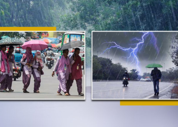
Bhubaneswar: A low-pressure area has developed over the central part of the South Bay of Bengal. It is expected to move north-westwards until April 8. The system may also move northwards from the west-central Bay of Bengal, informed the India Metrological Department.
The regional weather office has predicted that the low-pressure area will continue to move northwards for the next 48 hours.
Meanwhile, Weather expert Umashankar Das has confirmed the development of the low-pressure area and its expected trajectory.
Taking to his X handle, he wrote: “ A low-pressure area has formed over central South Bay of Bengal today due to the influence of yesterday’s cyclone. It is likely to move northwestwards till 8th and then move slightly northwards over west-central Bay of Bengal during the next 48 hours.
The regional weather office has predicted light to moderate rainfall in Sundargarh, Keonjhar, Angul, Deogarh, Mayurbhanj, Jajpur, Bhadrak, Balasore, Ganjam, Gajapati, Kandhamal, Rayagada, and Koraput under its impact. Some areas may witness light to moderate rainfall accompanied by thunderstorms and lightning. Winds are expected to blow at 30-40 km/h in these regions.
Going by IMD prediction, rainfall and thunderstorms will likely occur in various parts of coastal and southern Odisha on April 8, 9 and 10.


