


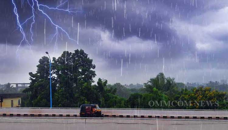
Bhubaneswar: A deep depression over the Bay of Bengal has weakened into a depression and is currently active over Bangladesh. Its impact is expected to bring heavy to extremely heavy rainfall to the northeastern parts of Odisha today, according to the India Meteorological Department.
Meanwhile, the regional weather office has issued a red alert for heavy to extremely heavy rainfall (20 cm or more) in some areas of Odisha. Residents are advised to stay alert and take necessary precautions to ensure their safety.
The depression’s influence is likely to cause significant rainfall in the northeastern districts of the state, leading to potential disruptions in daily life. The IMD has warned of heavy rainfall and advised people to be prepared for the worst.
According to the IMD prediction, heavy rainfall (20 cm or more) is likely to lash districts, including Koraput, Malkangiri, Rayagada, Nabarangapur, Kalahandi, Nuapada, Mayurbhanj and Balasore.
Additionally, thunderstorms with lightning and strong winds (40-50 km/h) are expected in some areas, including Bhadrak, Jajpur, Kendrapara, Cuttack, Jagatsinghpur, Sundargarh, Jharsuguda, Bargarh, Sambalpur, Deogarh, Angul, Dhenkanal, Keonjhar, Puri, Khurda, Nayagarh, Ganjam, Gajapati, Sonepur, Boudh, Balangir, and Kandhamal.
The IMD has forecast scattered rainfall in Odisha from May 29 to June 1, with some areas expected to experience heavy rainfall on May 30. From June 5-11, eastern India is expected to experience below-normal rainfall and above-normal temperatures.
As per the prediction of the weather office, temperatures are expected to rise, with maximum temperatures likely to be 1-3°C above normal from June 1-3 after the heavy rainfall.


