


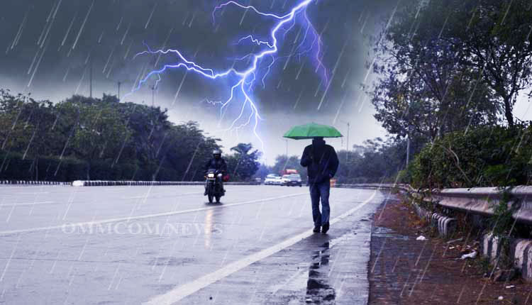
Bhubaneswar: The India Meteorological Department (IMD) has forecast continued thunderstorm and rainfall activity across Odisha over the next four days, issuing a yellow warning for 22 districts on Thursday.
According to the weather office, thunderstorms accompanied by lightning and gusty surface winds are likely to occur during afternoon and evening hours in several parts of the state. The districts under the yellow warning include Balasore, Keonjhar, Mayurbhanj, Kalahandi, Nabarangpur, Koraput, Malkangiri, Bhadrak, Jajpur, Kendrapara, Jagatsinghpur, Cuttack, Angul, Dhenkanal, Boudh, Kandhamal, Rayagada, Gajapati, Ganjam, Puri, Khurda and Nayagarh.
The IMD said light to moderate rainfall is also expected in a number of other districts during the period.
Despite the likelihood of rain, hot and humid conditions are expected to persist during daytime hours in several coastal and adjoining districts, including Balasore, Bhadrak, Jajpur, Kendrapara, Jagatsinghpur, Cuttack, Dhenkanal, Boudh, Gajapati, Ganjam, Puri, Khurda and Nayagarh on Thursday.
Meteorologists indicated that similar weather conditions are likely to prevail across the state for the following three days.
On Wednesday, rainfall in parts of Bhubaneswar, Khurda, Jharsuguda, Jajpur, Nuapada and Angul provided temporary relief from the prevailing heat.
However, western Odisha continued to experience high temperatures. Titlagarh recorded the state’s highest maximum temperature at 42 degrees Celsius. Sambalpur and Boudh followed at 41.2 degrees Celsius each.
Other locations reporting temperatures of 40 degrees Celsius or above included Talcher and Sonepur at 40.5 degrees Celsius, Hirakud and Bargarh at 40.4 degrees Celsius, Bolangir at 40.3 degrees Celsius, Dhenkanal at 40.1 degrees Celsius and Bhawanipatna at 40 degrees Celsius.
The IMD further stated that maximum temperatures across Odisha are likely to increase gradually by 2 to 3 degrees Celsius over the next three days.


