





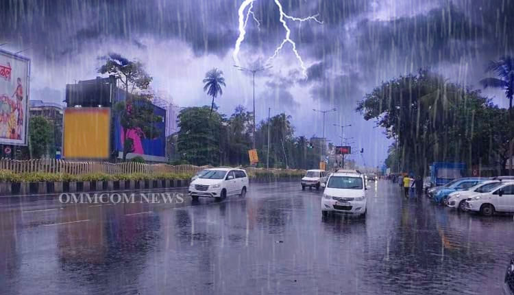
Bhubaneswar: The India Meteorological Department has forecast heavy to very heavy rainfall over parts of Odisha over the next three days due to an upper air cyclonic circulation over Westcentral Bay of Bengal and adjoining Coastal Andhra Pradesh at 4.5 km above mean sea level. The system continues to persist.
August 5 – Orange And Yellow Warnings
IMD has issued an Orange Warning – “Be Prepared To Take Action” for Mayurbhanj district, where heavy to very heavy rainfall is very likely at one or two places.
A Yellow Warning has been issued for heavy rainfall at one or two places in Sundargarh, Sambalpur, Kendujhar, Nuapada, Kalahandi, Kandhamal, Nabarangpur, Rayagada, Koraput, Malkangiri, Gajapati, Ganjam, and Nayagarh.Thunderstorm with lightning and gusty surface wind with wind speed reaching 30-40 kmph is also likely at one or two places in Balasore, Bhadrak, Jajpur, Kendrapara, Jagatsinghpur, Cuttack, Sundargarh, Jharsuguda, Bargarh, Sambalpur, Deogarh, Anugul, Dhenkanal, Kendujhar, Mayurbhanj, Subarnapur, Boudh, Nuapada, Bolangir, Kalahandi, Kandhamal, Nabarangpur, Rayagada, Koraput, Malkangiri, Gajapati, Ganjam, Puri, Khordha, and Nayagarh.
August 6 – Orange Alert Continues
An Orange Warning has been issued for Kendujhar and Mayurbhanj districts for heavy to very heavy rainfall at one or two places. Yellow Warning for heavy rainfall has been issued for Balasore, Bhadrak, Jajpur, Sundargarh, Deogarh, Anugul, Dhenkanal, Nuapada, Kalahandi, Kandhamal, Nabarangpur, Rayagada, Koraput, Malkangiri, Gajapati, and Ganjam.Thunderstorm with lightning and gusty winds of 30-40 kmph is likely across all districts mentioned for August 5.
August 7 – Yellow Warning
A Yellow Warning has been issued for heavy rainfall at one or two places in Balasore, Bhadrak, Kendujhar, and Mayurbhanj.Thunderstorm with lightning and gusty surface wind of 30-40 kmph is likely at one or two places in all districts of the state.The IMD has advised people in the affected districts to stay alert and follow local administration advisories.