





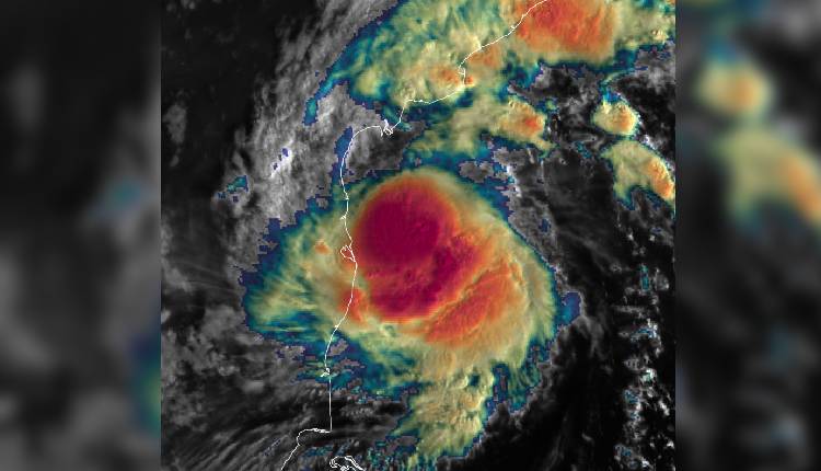
Bhubaneswar: Cyclonic Storm Murasu has intensified into a severe cyclonic storm over the Bay of Bengal, the India Meteorological Department (IMD) said in its bulletin today.
According to IMD, severe cyclonic storm Murasu has moved further closer to the Andhra Pradesh and Tamil Nadu coasts after intensifying earlier this morning. In its latest bulletin based on 05:30 am of November 2, the weather department said the system over Westcentral and adjoining Southwest Bay of Bengal moved west-northwestwards with a speed of 25 kmph during the past six hours.
At 05:30 am, the storm lay centered near latitude 13.9 degrees North and Longitude 81.8 degrees East. It was located about 200 km east-northeast of Chennai, 210 km east-southeast of Nellore, 220 km east-southeast of Kavali and 260 km southeast of Ongole.
With this movement, the distance from Chennai has reduced from 260 km at 02:30 am to 200 km at 05:30 am. The IMD has maintained its landfall forecast. It is very likely to continue to move northwestwards and cross the south Andhra Pradesh coast as a severe cyclonic storm with a wind speed of 100 to 110 kmph gusting to 120 kmph. The landfall is expected between Nellore and Narsapur, close to Ongole, during midnight of November2, to early hours of tomorrow.
In view of the system, a Red cyclone warning remains in force for Andhra Pradesh and adjoining north Tamil Nadu coasts.