





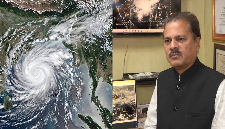
Bhubaneswar: At present, the system is packing wind speeds of 90 to 100 kmph in the sea, gusting up to 110 kmph, said IMD Director General (DG) Mrutyunjay Mohapatra.
Ruling out further strengthening, the IMD DG said there is no possibility of further intensification of the system.
Briefing the media on the impending cyclone today, he said Cyclone Akvan has intensified into a severe cyclonic storm today. The system is moving in a north-northwest direction and is likely to cross the coast between Narsapur and Puri, bringing strong winds and heavy rainfall to parts of the east coast.
“The cyclone has turned into a severe cyclonic storm today. It is moving in a north-northwest direction. Landfall is likely between Narsapur and Puri,” the IMD DG said, adding that the system has already attained its peak intensity and is not expected to strengthen further.
On rainfall, the IMD DG said Odisha is likely to experience heavy to very heavy rainfall under the influence of the cyclone on November 19, with the impact likely to be felt across several districts. He said the rain activity will gradually increase as the system approaches the coast, and people in the likely affected areas should remain prepared for intense spells.
“On November 19, heavy to very heavy rainfall will occur in Odisha. South Odisha will receive the maximum rainfall on November 19. Some districts in south Odisha are likely to receive extremely heavy rainfall of 20 to 30 cm. Extremely heavy rainfall may occur in Ganjam, Gajapati, Khordha and Puri,” the IMD DG said, identifying the four districts as the most vulnerable to very heavy rain on November 19.
The IMD DG further said north Odisha will also come under the influence of the system, and rainfall activity will not be confined to the southern parts of the state alone. There is a possibility of heavy rainfall in north Odisha as well.