New Delhi: India on Tuesday dismissed a ‘standard map’ released by China on Monday (August 28), showing parts of Aksai Chin and Arunachal Pradesh within its territory.
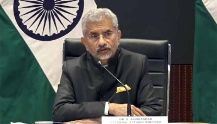
External affairs minister S Jaishankar during an interaction with a television channel was quoting as saying said that China has a “habit” of releasing such maps and mere inclusion of territories belonging to other countries in its maps does not mean anything.
The minister was quoted by the television channel as saying that China has put out a map with territories that are not theirs.
Simply releasing maps with territories not belonging to it does not change anything, as the government is very clear about its territory, and such “absurd claims” don’t make other people’s territories theirs, Jaishankar said as quoted by the television channel.
Jaishankar also chose to de-link the disengagement talks along the Line of Actual Control (LAC) and the release of the map by China.
The release of the map comes just days before the G20 summit, which is scheduled to take place in New Delhi on September 9 and 10.
Last week during his informal conversation with China’s President Xi Jinping at the BRICS summit in South Africa, Prime Minister Narendra Modi had conveyed India’s “concerns over unresolved issues along LAC and other areas along the India-China border”.
(IANS)


