Bhubaneswar: Parbati Giri Mega Lift Irrigation Project were formulated in the year 2011-12 to provide Kharif irrigation to the uplands inside or outside irrigation commands which were deprived of flow irrigation due to locational disadvantages.
To date, 200 schemes have been completed and 49 are under construction through Parbati Giri 1.0 & Parbati Giri 2.0 clusters of projects covering 3,24,000 ha appx. of ayacut through Mega lift pumping and pressurized irrigation system.
To monitor the day-to-day operation of completed schemes and timely operation of ongoing schemes, IT-enabled Project Management techniques- a GIS-based Management Information System is being developed with the help of OCAC under IT & 5-T initiatives of the Department of Water Resources (DoWR).
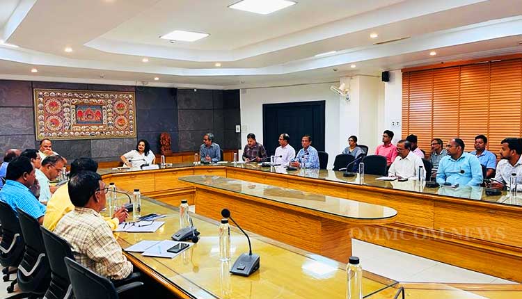
According to an official press release, Development Commissioner-cum-Additional Chief Secretary, DoWR Anu Garg reviewed the progress of the Mega lift-MIS applications in the conference Hall of the DoWR, Rajiv Bhawan on Thursday in the presence of senior officers of the Department and OCAC.
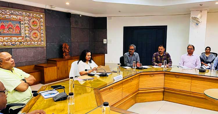
It transpired that the development of the MIS is in the completion stage and the portal will soon be dedicated to the officers of the Department for ease of supervision and to the general public of Odisha at large.
Similarly, another satellite-based GIS application for mapping of irrigation commands, water bodies created by the DoWR starting from major reservoirs to check dams, all assets in the irrigation commands including dams, barrages, canals with structures, river and canal embankments, irrigation roads, building etc to create an inventory of assets in an organized manner for operation and maintenance of the assets is being developed under the name “Odisha Jal Sampad” with the technical help of Odisha Space Application Centre.
This application is another important IT & 5-T initiative of the department which was also reviewed by the DC-cum-ACS.


