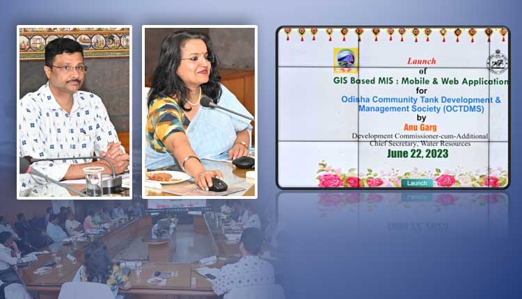
Bhubaneswar: A Management Information System(MIS) and GIS web-based application for Real Time Monitoring of the Activities Under the Odisha Integrated Irrigation Project for Climate Resilient Agriculture (OIIPCRA) has been launched today.
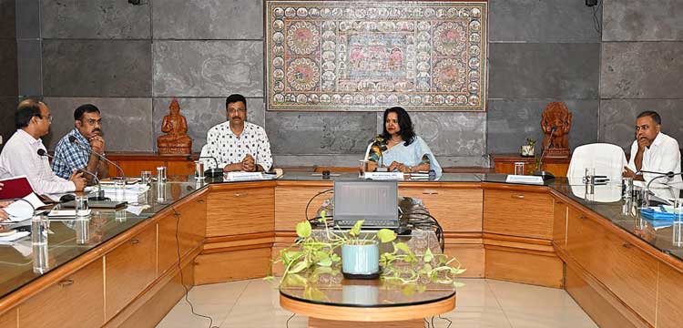
Development Commissioner & ACS, Department of Water Resources kick-started the application in a programme organised in the Conference Hall of DoWR, Bhubaneswar. Principal Secretary, Agriculture & FE Department Dr Arabinda Kumar Padhee, Director, Agriculture Prem Chandra Choudhary and other officers from OIIPCRA, Agriculture, Horticulture, Fisheries, APICOL also present in the programme.
OIIPCRA aims at demonstrating climate smart agriculture in irrigation command of 538 selected Minor Irrigation Projects (MIPs) of 15 project districtsin Odisha. It seeks to promote improved crop productivity; farmers adoption of resilient agricultural practices and technologies; diversification of crops and adaptation to climate change; reliability of irrigation service delivery and efficient use of water.
The primary stakeholders include farmers; Pani Panchayats; Farmer Producer Organizations; Fisheries Co-operative Societies, Agro- Entrepreneurs etc.
To implement and assess the integrated outcome, a comprehensive MIS and GIS web-based applicationhas been developed. It involves and produces spatial data sets; geo-tagging; integrating data from various scales; organizing data structures and establishing GIS database. It is an interactive query-based system for department officials and a mobile application for users.
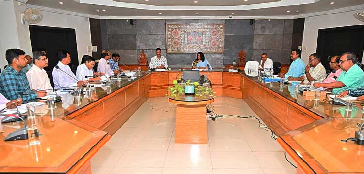
The application seeks to have the benefit of introducing a mechanism for assessing the water availability and identifying gaps in optimising utilization of water in the command area.
This works as a Decision Support System for identifying issues in civil works, agricultural, fisheries, and horticulture activities and deciding on the solutions and Monitoring in real time the progress in physical and financial activities of the project. This application has also a grievance redressal mechanism for the stakeholders of the project.
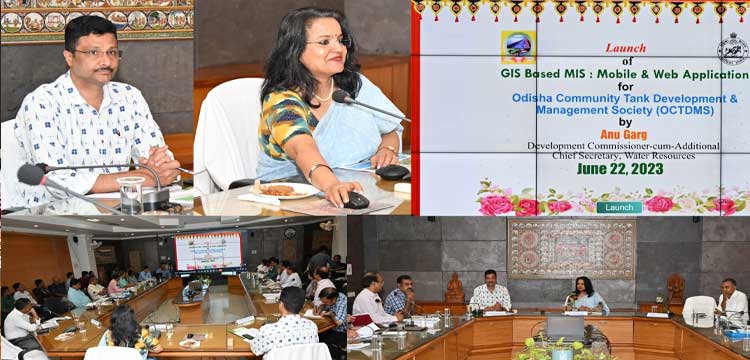
This incorporate a query-based application for analysis, results, reports and real time progress; making available to the users online data on vegetation index, tank filling status, cropping pattern, geo-tagged image of command area and water spread.
Needless to say, a series of IT initiatives have been introduced by the Department to bring in transparency and transformation in the Department.
They are: GoWater (Water ERP) for irrigation management, project monitoring and flood forecasting; PROMISe for expediting procurement work; e-CAD application software for tracking CAD and PIM activities; Ama Jalashaya portal, covering all the water bodies for planning water use for multiple purposes; PINSYS is a robust database of WR Engineers for effective HRM; WaterDox is a web enabled interface to store documents and legacy data of the Department in digital form to be accessible to users for official purpose etc.


