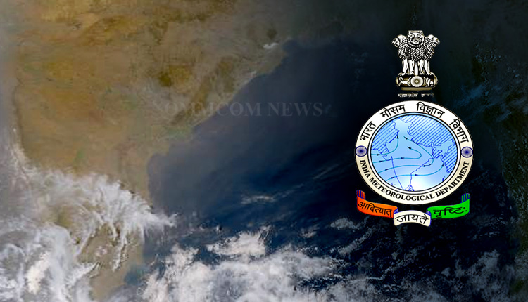
Bhubaneswar: The low pressure area over central parts of south Bay of Bengal is now over southeast Bay of Bengal and east Equatorial Indian Ocean. The system is likely continue to move east-northeastwards, and become a well marked low pressure area and lie over southeast Bay of Bengal and adjoining south Andaman Sea by the morning of March 19.
Thereafter, it is likely to move north-northwestwards along and off Andaman & Nicobar Islands, intensify into a depression by the morning of March 20 and into a cyclonic storm on March 21.
Thereafter, It is likely to move nearly northwards and reach near Bangladesh and north Myanmar coast around the morning of March 2022.
Under its influence, light to moderate rainfall or thundershower is very likely at most places with heavy rainfall at isolated places over south Andaman Sea on March 18 and heavy to very heavy rainfall on March 19.
On March 20 and 21, light to moderate rainfall or thundershower is very likely at most places with heavy to very heavy rainfall at a few places and extremely heavy rainfall at isolated places over Andaman and Nicobar Islands.
Further, light to moderate rainfall or thundershower is very likely at most places with heavy to extremely heavy rainfall at isolated places over Andaman Islands on March 22.
Fishermen are advised not to venture into southeast Bay of Bengal & Andaman Sea area areas on March 17 and 18.


