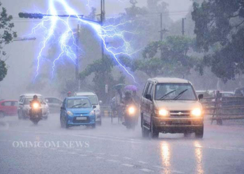
Bhubaneswar: A cyclonic circulation over Gangetic West Bengal and adjoining Bangladesh has shifted and is now positioned over Gangetic West Bengal and adjoining areas of Jharkhand and North Odisha. The circulation extends up to 5.8 km above mean sea level and is tilting southwestwards with height. This cyclonic circulation is likely to give rise to a low-pressure area over the same region within the next 24 hours, predicted the India Meteorological Department on Wednesday.
Under its influence, heavy to very heavy rainfall (7 to 20 cm) and thunderstorms with lightning very likely to occur at one or two places over the districts of Sundargarh, Jharsuguda, Bargarh, Sambalpur, Deogarh, Koraput and Nabarangapur on August 8.
As per IMD prediction for August 8, heavy rainfall (7 to 11cm) and thunderstorm with lightning very likely to occur at one or two places over the districts of Malkangiri, Balasore, Mayurbhanj, Keonjhar, Bhadrak, Kendrapara, Jajpur, Cuttack, Dhenkanal, Angul, Boudh, Kandhamal, Kalahandi, Nuapada, Bolangir, Sonepur on the same day.
For August 9, IMD issued heavy rainfall (7 to 11cm) very likely to occur at one or two places over the districts of Sundargarh, Jharsuguda, Bargarh, Sonepur and Bolangir districts.
Going by the IMD prediction for August 10, heavy rainfall (7 to 11cm) is very likely to occur at one or two places over the districts of Sundargarh, Jharsuguda, Sambalpur and Deogarh.
Heavy rainfall (7 to 11cm) is very likely to occur at one or two places over the districts of Sundargarh, Jharsuguda, Bargarh, Sambalpur, Deogarh, Keonjhar and Mayurbhanj on August 11.


