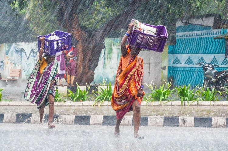
Bhubaneswar: The people of Odisha on Thursday got relief from the scorching heatwave after southwest monsoon arrived in the state.
The India Meteorological Department (IMD) said that the monsoon covered most parts of Malkangiri, and parts of Koraput and Gajapati districts on Thursday.
“Conditions are favourable for further advance of southwest monsoon over the remaining parts of Odisha during next two days,” the Met department said.
IMD said that last year, the southwest monsoon arrived in Odisha on June 16. This year, it was delayed nearly a week as the monsoon arrived in Kerala late.
Meanwhile, pre-monsoon rainfall lashed the twin cities of Bhubaneswar and Cuttack and some parts of coastal Odisha on Thursday afternoon.
The IMD said that in view of advancement of southwest monsoon and current meteorological situations, widespread rainfall/thundershower with isolated heavy to very heavy rainfall and lightning will occur across the state during the next 4-5 days.
As per IMD’s forecast, heavy to very heavy rainfall is very likely to occur at one or two places over the districts of Jagatsinghpur, Kendrapara, Puri, Ganjam, Kandhamal, Malkangiri, Koraput, Rayagada, Gajapati, Nabarangpur, Kalahandi, Bolangir, Cuttack, Jajpur, Bhadrak, Balasore, Keonjhar, Mayurbhanj and Dhenkanal on Friday.
Temporary water logging is likely to occur in some low-lying areas and traffic congestion in urban areas.
So, the weather office advised people to follow traffic advisory for movement and initiate preparations for sowing of paddy crops while taking precautionary measures for lightning strikes while working in the fields.
The Met department also informed that a cyclonic circulation over west-central and adjoining northwest Bay of Bengal off north Andhra Pradesh and south Odisha coasts lies between 3.1 and 5.8 km above mean sea-level, tilting southwards with height.
(IANS)


