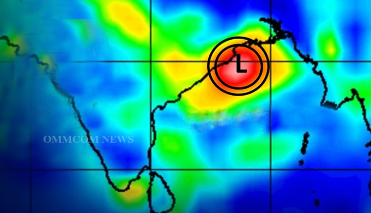
Bhubaneswar: The well-marked low-pressure area over the northwest and adjoining west-central Bay of Bengal has condensed and turned into a depression now and lies over the northwest Bay of Bengal off the north Odisha-West Bengal coasts. The associated cyclonic circulation extends up to 7.6 km above mean sea level tilting southwestwards with height. It is likely to move across Odisha and Chhattisgarh during the next two days.
Meanwhile, the India Meteorological Department (IMD) on Thursday predicted that several Odisha districts are likely to experience heavy rainfall today under the influence of the low-pressure area.
The IMD regional center here has issued Orange and Yellow alerts for heavy rain in many districts of Odisha today.
According to the IMD, heavy to very heavy rainfall (7 cm to 20 cm) is very likely at one or two places in Kalahandi, Nuapada, Bolangir, Bargarh, Kandhamal, Boudh, Sonepur, Sambalpur, Nabarangpur and Ganjam districts on Thursday.
Similarly, a yellow alert for heavy rainfall (7 cm to 11 cm) has been issued for one or two places in Nayagarh, Koraput, Malkangiri, Rayagada, Gajapati, Cuttack, and Angul districts of Odisha.


