


New Delhi: Tech major IBM has partnered with US space agency NASA to design a new geospatial foundation model to track climate change on Earth, the company announced in a blog post.
The new geospatial foundation model, which is part of IBM’s Space Act Agreement with NASA, converts the space agency’s satellite observations into customised maps of natural disasters and other environmental changes.
The first-ever foundation model for analysing geospatial data will help to estimate climate-related risks to crops, buildings, and other infrastructure, valuing and monitoring forests for carbon-offset programmes, and also to developing predictive models to help enterprises create strategies to mitigate and adapt to climate change.
“The model could speed up geospatial analysis by three to four times, and can help reduce the amount of data cleaning and labelling required in training a traditional deep-learning model,” Sriram Raghavan, VP, IBM Research AI and Christina Shim, Head of Strategy and Sustainability, IBM Sustainability Software, wrote in the blog post.
“We see how this technology can be applicable to businesses as they look for easier and faster ways to analyse and draw insights from climate data,” they added.
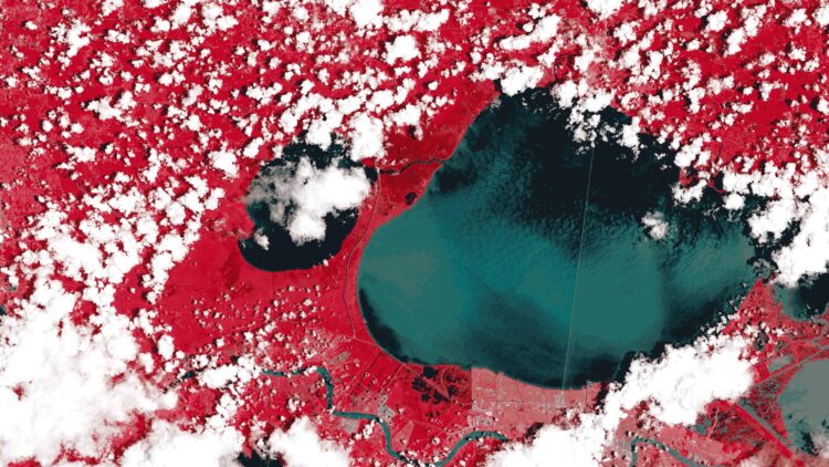
Instead of training a foundation model on words, the IBM experts taught the AI model to understand satellite images. They pre-trained NASA’s Harmonised Landsat Sentinel-2 (HLS-2) data.
The HLS data provides consistent surface reflectance data from the Operational Land Imager (OLI) aboard the joint NASA/USGS Landsat 8 satellite and the Multi-Spectral Instrument (MSI) aboard the European Union’s Copernicus Sentinel-2A and Sentinel-2B satellites.
The combined measurement helps enable global observations of the land every two to three days at 30 metre spatial resolution.
They then fed the model hand-labelled examples to teach it to recognise things like the extent of historic floods and fire burn scars, as well as changes in land-use and forest biomass.
Using the model is designed to be simple as users only need to select a region, a mapping task, and a set of dates.
When a user types the name of a place into the search bar and selects the date, the model highlights in pink how far the flood waters extended.
Users can overlay other datasets to see where crops or buildings were inundated. These visualisations can help with future planning during similar disaster scenarios: they provide information that could help mitigate flood impacts, inform insurance and risk management decisions, plan infrastructure, respond to disasters, and protect the environment.
The model, part of IBM’s watsonx.ai geospatial offering, is planned to be available in preview to IBM clients through (EIS) IBM Environmental Intelligence Suite during the second half of this year.
(IANS)


