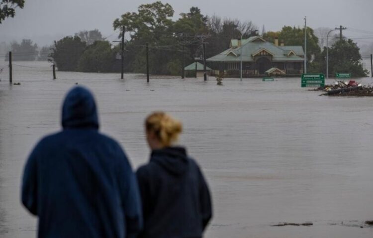
Canberra: Residents of Australia’s Outback have been warned to brace for damaging winds and heavy rainfall from tropical cyclone Ilsa.
The storm system crossed into the Northern Territory (NT) as a tropical low on Saturday morning after causing widespread damage in northern Western Australia (WA), where it made landfall near the iron ore export hub of Port Hedland as a category five storm on Thursday night, reports Xinhua news agency.
Despite the significant downgrading in its severity, the Bureau of Meteorology (BoM) said Ilsa would still bring strong weather and over 100 mm of rain to the Nt’s southwest, prompting a flood watch warning.
“As it moves through the southern parts of the Territory we’re going to see heavy rainfall particularly near and just to the south of the path of the low, plus also the potential for damaging wind gusts and isolated falls,” BoM NT forecaster Sally Cutter told reporters on Friday evening.
“Those really intense rainfall are going to fall over a space of a few hours,” she said.
“There could be some flash flooding through the area.”
Cutter said Alice Springs, a city in central Australia, could expect most rain early on Saturday afternoon before the storm dissipates rapidly.
The strongest cyclone to make landfall in WA in recent years, tropical cyclone Ilsa has left a trail of destruction through the state’s vast rural north but avoiding highly-populated areas.
There have been no reported injuries and major infrastructure assets were unaffected despite wind speeds exceeding 250 kph.
(IANS)


