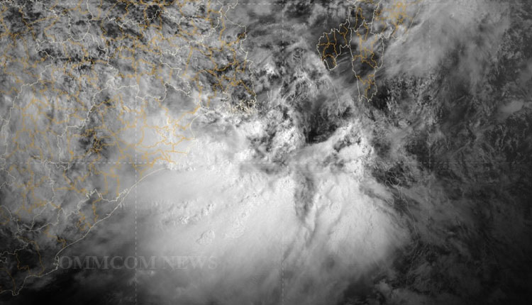
Bhubaneswar: A low-pressure area has formed over the east equatorial Indian Ocean and adjoining southeast Bay of Bengal, the India Meteorological Department (IMD) said on Friday.
In a release issued today, the Bhubaneswar regional office of the IMD said, “Under the influence of the cyclonic circulation over East Equatorial Indian Ocean & adjoining SE Bay of Bengal, a Low-Pressure Area has formed over the same region.”
The IMD has forecast that the system is very likely to become a well-marked marked low-pressure area over the southeast Bay of Bengal and the adjoining east equatorial Indian Ocean during the next two days.
It is likely to gradually move towards west-northwest (WNW) over the southwest Bay of Bengal and reach near the Sri Lanka coast during subsequently three days, the weather bureau said, adding that the low-pressure area will not have any impact on Odisha.
As per the IMD, dry weather is likely to prevail in most parts of Odisha for the next few days. There will be no large change in minimum temperature (night temperature) over the districts of Odisha during the next five days.
In the last 24 hours, many districts of Odisha recorded above-normal day temperatures. Boudh district recorded the highest day temperature of 34.5°C while Phulbani registered the lowest temperature of 11°C. Capital City Bhubaneswar recorded 34.2°C which was 4.2°C above than the normal temperature.


