


Bhubaneswar: A low-pressure area is likely to form over the west-central and adjoining North Bay of Bengal around May 27, bringing significant weather changes to Odisha. Currently, an upper air trough runs from cyclonic circulation associated with a low-pressure area over Marathwada to north coastal Andhra Pradesh, affecting south Odisha.
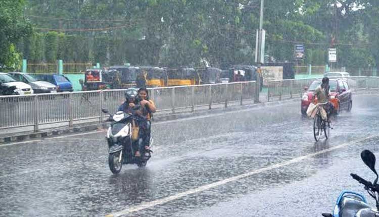
The India Meteorological Department has issued a yellow warning for several districts in Odisha, predicting thunderstorms with lightning and surface wind speeds reaching 30-40 kmph in the afternoon and evening hours. Districts expected to experience thunderstorms include Jajpur, Cuttack, Jagatsinghpur, Sundargarh, Jharsuguda, Bargarh, Sambalpur, Deogarh, Angul, Dhenkanal, Puri, Khurda, Nayagarh, Ganjam, Sonepur, Boudh, Nuapada, Balangir, and Malkangiri.
Additionally, some districts are expected to experience heavy rainfall along with thunderstorms, including Nabarangapur, Kalahandi, Rayagada, Koraput, Gajapati, Balasore, Mayurbhanj, Bhadrak, Kendrapada, Keonjhargarh, and Kandhamal.
The rain is expected to continue till May 31. Residents are advised to stay indoors during thunderstorms, avoid travelling to areas prone to heavy rainfall, and keep emergency kits ready. They are also advised to monitor weather updates regularly to stay safe.


