


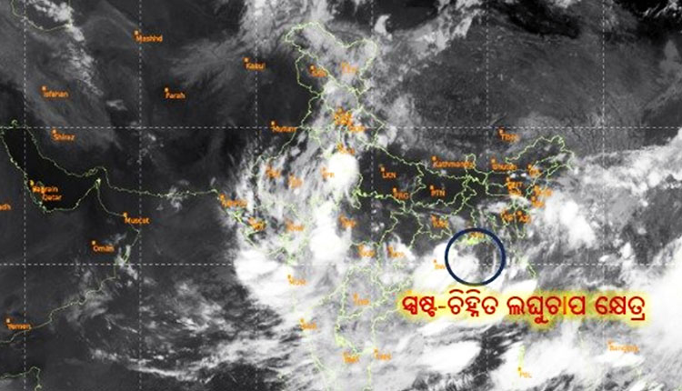
Bhubaneswar: The India Meteorological Department (IMD) has informed that the low-pressure area over the Bay of Bengal has intensified into a well-marked low pressure area over the northwest Bay of Bengal and its adjoining areas.
According to the latest bulletin, the associated cyclonic circulation now extends up to 9.4 km above mean sea level, indicating a significant vertical development in the system. This intensification is expected to bring enhanced rainfall activity over Odisha and surrounding regions in the coming days. The system is likely to concentrate further and may develop into a depression in the next 48 hours.
Meanwhile, the IMD has issued a red alert for Kalahandi, Rayagada, Koraput and Malkangiri districts for today. Heavy rainfall is very likely in isolated pockets of these southern districts.
Besides, an orange warning is also in place for Bargarh, Sonepur, Boudh, Nuapada, Bolangir, Kandhamal, Nabarangapur, Gajapati and Ganjam, where heavy to very heavy rain may occur at one or two places. In addition, 17 other districts including Balasore, Cuttack, Puri, Khurda, Sundargarh and Mayurbhanj are under a yellow warning for heavy rainfall at isolated locations.


