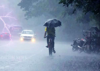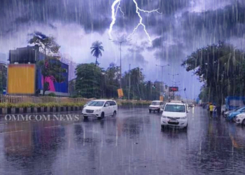






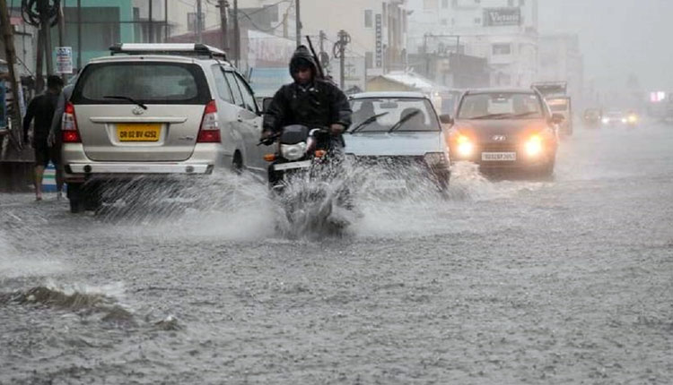
Bhubaneswar: Odisha is likely to experience widespread rainfall over the next 24 hours, with the India Meteorological Department (IMD) issuing an Orange Warning for Sundargarh, Jharsuguda, Bargarh and Sambalpur, forecasting heavy to very heavy rainfall at one or two places in these districts. A Yellow Warning for heavy rainfall has also been issued for 14 districts, while thunderstorms accompanied by lightning and gusty winds of up to 30-40 kmph are likely in several parts of the state.
According to the IMD’s midday weather bulletin issued on Friday, light to moderate rain or thundershowers are very likely at many places across all districts of Odisha till 8.30 am on August 15. Heavy rainfall is likely at one or two places in Baleshwar, Bhadrak, Jajpur, Kendrapada, Jagatsinghpur, Cuttack, Angul, Dhenkanal, Keonjhar, Mayurbhanj, Subarnapur, Boudh, Nuapada and Balangir.
The weather office also forecast thunderstorms with lightning and gusty surface winds reaching 30-40 kmph at one or two places in Baleshwar, Bhadrak, Jajpur, Kendrapada, Jagatsinghpur, Cuttack, Sundargarh, Jharsuguda, Bargarh, Sambalpur, Deogarh, Angul, Dhenkanal, Keonjhar, Mayurbhanj, Subarnapur, Boudh, Nuapada, Balangir, Kalahandi, Kandhamal, Nabarangpur, Rayagada, Koraput, Malkangiri, Gajapati, Ganjam, Puri, Khordha and Nayagarh.
The IMD said the depression over Jharkhand and adjoining Gangetic West Bengal moved west-northwestwards at a speed of 18 kmph during the past six hours and lay centred near Ranchi at 8.30 am on Friday. It is very likely to continue moving west-northwestwards across Jharkhand and north Chhattisgarh and weaken into a well-marked low pressure area during the next 12 hours. The monsoon trough is also passing through the depression’s centre before extending towards Digha and the east-central Bay of Bengal.
The weather system has already triggered significant rainfall in several parts of Odisha. Moderate rain was recorded at many places, while heavy to very heavy rainfall occurred at isolated locations in Sundargarh, Mayurbhanj, Keonjhar, Sambalpur, Baleshwar, Kandhamal and Angul. Lathikata in Sundargarh recorded the highest rainfall of 18 cm, followed by Kusumi in Mayurbhanj at 14 cm and Telkoi in Keonjhar at 13 cm.
The wet conditions are expected to persist over the next several days. The IMD has forecast light to moderate rain or thundershowers at many places across Odisha on August 15 and 17-19, with Yellow Warnings for isolated heavy rainfall in selected districts. On August 16, heavy rain is likely at one or two places in Sundargarh and Keonjhar, while on August 17 the warning covers Sundargarh, Keonjhar and Mayurbhanj. Heavy rain is forecast in Keonjhar and Mayurbhanj on August 18.
The weather office has warned of localised flooding, waterlogging in low-lying areas, disruption of traffic, reduced visibility, damage to vulnerable structures and possible riverine flooding in some catchments. Landslides and mudslides are also possible in vulnerable areas.
Meanwhile, squally weather with winds of 35-45 kmph and occasional gusts up to 55 kmph is likely along and off the Odisha coast on August 14 and 15. The sea is expected to remain rough to very rough, and fishermen have been advised not to venture into the sea on these two days.
For Bhubaneswar and adjoining areas, the IMD has forecast partly cloudy skies with one or two spells of rain or thundershower during the next 24 hours, with the maximum and minimum temperatures likely to remain around 32 degrees Celsius and 26 degrees Celsius, respectively.