





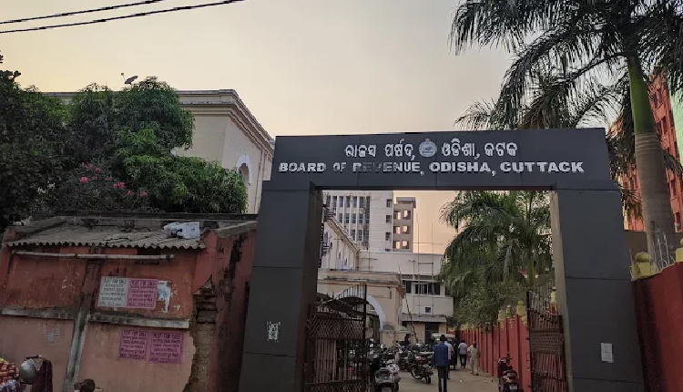
Bhubaneswar: Hearing a revision case regarding protection of government land, Member, Board of Revenue, Satyabrat Sahu has given an important verdict dismissing application for recording government land in the name of a private individual and directed the Revenue Department to investigate the incident.
The case pertains to government land in Ogalpada Mouza under Jatni Tahasil of Khordha district. The land, measuring over 4.24 acres and adjacent to the Bhubaneswar-Khurda National Highway, is valued at over Rs 100 crore. While revenue records show the land in the name of the government, questions have arisen over its ownership, lease and subsequent transfer.
According to case records, the incident started with a claim in 1968 when the government land was leased in the name of an Odisha Administrative Service (OAS) officer under the Odisha Government Land Settlement (OGLS) Act, 1962. Later documents show the land was sold and transferred to another person. The Board of Revenue questioned how leased government land was sold, especially when the lessee was then engaged in land acquisition work.
It is pertinent to mention that government land is not distributed like private land. Under the OGLS Act, 1962 and OGLS Rules, 1963, there is a specific process, eligibility, priority and approval of authority. For agricultural purposes, priority is given to landless agricultural labourers’ cooperative societies, landless labourers of the village or neighbouring villages, ex-servicemen of certain categories and raiyats with limited land.
In this backdrop, several questions have arisen about the Ogalpada land – under which category did the OAS officer get the land, on what basis was his application accepted, and whether his government position had any connection with eligibility. The answers lie in the original lease file, which the Jatni Tahasildar’s report says is not available at the Tahasil office at present. The missing record has deepened suspicion.
Old land records, maps and field inspection reports also reveal discrepancies in the extent of land – how much was actually leased, how much changed hands later and why records and maps differ.
There is also discrepancy between ownership description in the sale deed and history of government lease. If the original source is a government lease, on what basis was ownership shown in the later sale document?The Jatni Tahasildar’s report further states that though more than 20 acres of government land in that area is recorded in the name of the government, it has been encroached upon.
Considering all facts, the Board of Revenue has rejected the demand to record the land in the name of the subsequent purchaser and directed that existing government records should not be changed on the basis of disputed documents or mutations.
The Board has directed to collect the original lease file, revenue record, map, mutation record, sale deed and field inspection papers and send them to the Revenue and Disaster Management Department for special investigation.
The probe will ascertain under what law the lease was granted, what was the eligibility of the lessee, what was the role of officials concerned at that time, why original record is missing, why there is difference in measurement and maps, how land changed hands after lease and whether government suffered any loss.
Revenue and Disaster Management Minister Suresh Pujari has been emphasizing on protection of government land, eviction of encroachments and restoration. In this context, this judgment of the Board of Revenue is significant and a message for field officers to remain vigilant.