Bhubaneswar: The trough from Bihar to north Odisha now runs from Sub-Himalayan West Bengal & Sikkim to interior Odisha across Gangetic West Bengal at 0.9 km above mean sea level, the IMD stated today.
In the afternoon bulletin on Saturday, the IMD informed that the trough in mid tropospheric westerlies with its axis at 5.8 km above mean sea level.
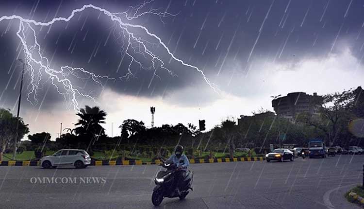
During the next 24 hours, thunderstorm with lightning and gusty surface wind speed reaching 40 to 50 kmph is very likely to occur at one or two places over the districts of Balasore, Bhadrak, Jajpur, Kendrapara, Cuttack, Jagatsinghpur, Keonjhar, Mayurbhanj, and Khurda.
A yellow warning has been issued by the IMD in this connection. Similarly, thunderstorm with lightning very likely to occur at one or two places over the districts of Puri, Nayagarh, Ganjam, Gajapati, Sundargarh, Angul, Dhenkanal, Kandhamal, Rayagada, and Koraput, the IMD stated.
Over the next 24 hours, light to moderate rain or thunderstorm very likely to occur at a few places over the districts of Coastal Odisha, Keonjhar, Mayurbhanj, and Dhenkanal and at one or two places over the rest districts of Odisha.


