






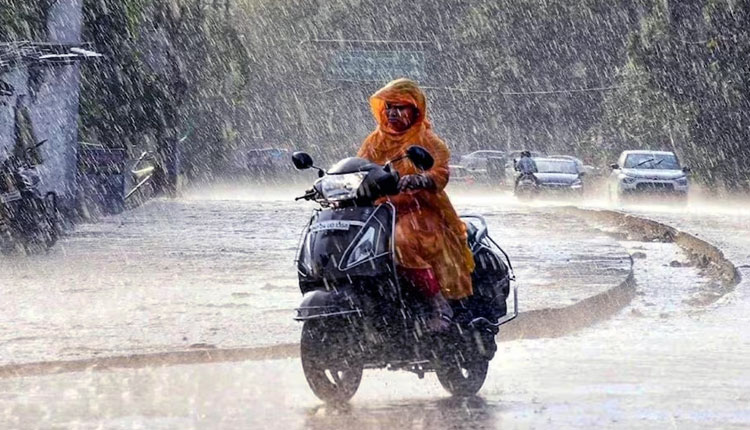
Bhubaneswar: Cyclonic Storm ‘Akvan’ over the south and adjoining west-central Bay of Bengal is likely to intensify into a Severe Cyclonic Storm by Tuesday evening and further strengthen into a Very Severe Cyclonic Storm by the morning of November 19, the India Meteorological Department (IMD) said in its midday weather bulletin on Tuesday.
The system is likely to move northwestwards and cross the Andhra Pradesh and Yanam coasts between Nellore and Tuni around noon on November 20 as a Very Severe Cyclonic Storm, packing maximum sustained wind speeds of 120-130 kmph with gusts up to 145 kmph.
The cyclone was centred over the central parts of the south and adjoining west-central Bay of Bengal at 8.30 am on Tuesday, near latitude 12.2°N and longitude 85.7°E. It was moving north-northwestwards at a slow speed of three kmph during the preceding six hours and lay about 790 km south of Gopalpur in Odisha.
In view of the evolving weather system, the IMD has forecast widespread rainfall activity across Odisha over the next few days, accompanied by heavy to very heavy rainfall in several districts.
For November 18, light to moderate rain or thundershowers are likely at one or two places in 13 districts, including Baleshwar, Bhadrak, Jajpur, Kendrapada, Jagatsinghpur, Kataka, Mayurbhanj, Gajapati, Ganjam, Puri, Khordha and Nayagarh. The weather is likely to remain dry in the remaining districts.
The IMD has issued a Yellow Warning for November 19, forecasting heavy rainfall at isolated places in Gajapati, Ganjam and Puri districts. Thunderstorms accompanied by lightning and gusty winds of 40-50 kmph are also likely at isolated places in several districts.
The weather situation is likely to intensify further on November 20, when heavy to very heavy rainfall is expected at isolated places in Kendrapada, Jagatsinghpur, Gajapati, Ganjam and Puri districts. A Range Warning has been issued for these districts, with thunderstorms, lightning and gusty winds reaching 50-60 kmph also likely.
A Yellow Warning for heavy rainfall and thunderstorms has been issued for several other districts, including Baleshwar, Bhadrak, Jajpur, Kataka, Angul, Dhenkanal, Kendujhar, Mayurbhanj, Boudh, Kandhamal, Rayagada, Koraput, Malkangiri, Khordha and Nayagarh.
For November 21, the IMD has issued an Orange Warning for heavy to very heavy rainfall at isolated places in Rayagada, Koraput, Malkangiri, Gajapati and Ganjam districts. Thunderstorms with lightning and gusty winds of 50-60 kmph are also likely in these areas.
A Yellow Warning has been issued for heavy rainfall in several other districts, including Baleshwar, Bhadrak, Kendrapada, Jagatsinghpur, Kataka, Mayurbhanj, Kalahandi, Kandhamal, Nawarangpur, Puri, Khordha and Nayagarh.
The IMD has further warned of heavy to very heavy rainfall in parts of western and southern Odisha on November 22. An Orange Warning has been issued for Sundargarh, Jharsuguda, Baragada, Nuapada, Nawarangpur and Koraput districts.
Meanwhile, fishermen have been advised not to venture into the sea along and off the Odisha coast from November 18 to 20. Squally winds reaching 40-50 kmph, gusting to 60 kmph, are likely from the night of November 18. Wind speeds may subsequently increase to 50-60 kmph, gusting to 70 kmph, from the morning of November 19 till November 20. Sea conditions are likely to remain rough to very rough during this period.
The weather office has advised people to remain alert, follow official advisories and take shelter during thunderstorms and lightning activity. Heavy rainfall may cause localised flooding, waterlogging in low-lying areas, traffic disruption and landslides in vulnerable locations.
According to the bulletin, dry weather prevailed across Odisha on Tuesday morning. Dense fog was reported at isolated places in Sundargarh and shallow fog in parts of Koraput.
The highest maximum temperature of 33.5°C was recorded at Dhenkanal, while Nawarngpur recorded the lowest minimum temperature of 13.6°C in the plains of the state.
For Bhubaneswar and adjoining areas, the IMD has forecast a partly cloudy sky with haze over the next 24 hours, with maximum and minimum temperatures likely to hover around 32°C and 20°C, respectively.
The night temperature across Odisha is likely to rise by 2-3°C during the next three to four days, with no significant change thereafter.