






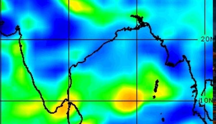
Bhubaneswar: A cyclonic circulation that was over the North Andaman Sea yesterday moved west-northwestwards and lay over the sea off the Andaman Islands near the North Andaman Sea at 05:30 am today, according to the India Meteorological Department (IMD).
According to the latest data, under the influence of this circulation, a low pressure area is likely to form over the southeast Bay of Bengal and adjoining east-central Bay of Bengal around October 23.The system is expected to move west-northwestwards thereafter and gradually intensify further, the weather office said.
Meanwhile, a European model has predicted there is a 60% chance of a cyclone forming over the Bay of Bengal next week. The European model is also indicating the possibility of a storm.
According to the European model, a low pressure area is likely to form on October 23, which could further intensify into a depression by October 25. It could intensify into a deep depression on October 26-27 and take the shape of a cyclone by October 28.Initially, the system may move west-northwest or northwest. Later, it may head towards the Andhra Pradesh-Odisha coast. The possibility of it moving further north also cannot be ruled out. Rainfall along the Odisha coast may increase between October 26 and 29.
However, the IMD has not yet issued any forecast regarding cyclone formation.