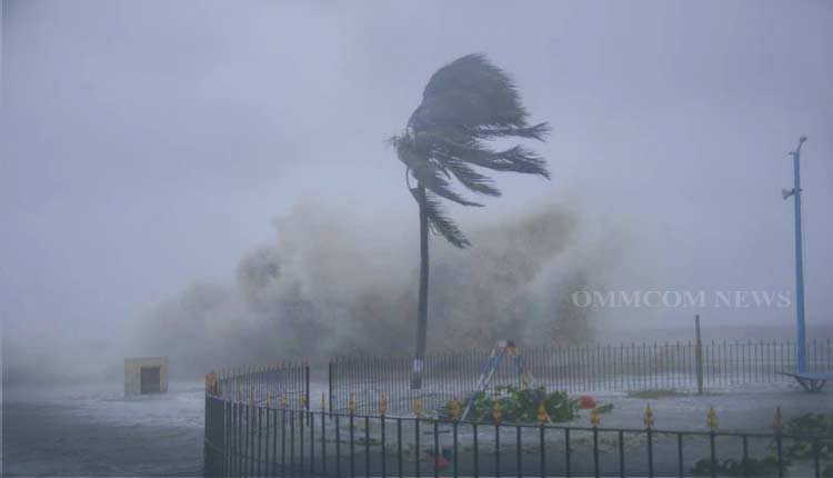
Bhubaneswar: The Low Pressure Area over Southeast Bay of Bengal and adjoining south Andaman sea now lies as a Well Marked Low Pressure Area over Southeast Bay of Bengal. It is likely to move west-northwestwards and concentrate into a Depression over Southeast Bay of Bengal by today (December 6) evening.
Thereafter, it is likely to continue to move west-northwestwards, intensify further gradually into a Cyclonic Storm and reach Southwest Bay of Bengal near north Tamil Nadu-Puducherry and adjoining south Andhra Pradesh coasts by the morning of December 8.
Under its influence, heavy rainfall is very likely over Andaman & Nicobar Islands on December 6; enhanced rainfall activity with rainfall at a few places with isolated heavy rainfall is likely to commence over north coastal Tamil Nadu, Puducherry & Karaikal from the midnight of December 7.
It is likely to increase with rainfall at most places with heavy to very heavy rainfall with extremely heavy falls at isolated places over north Tamil Nadu and Puducherry on December 8, isolated heavy to very heavy rainfall over Tamil Nadu on December 9 and isolated heavy rainfall over interior Tamil Nadu on December 10.
Enhanced rainfall activity with rainfall at a few places with isolated heavy rainfall is likely to commence over south Andhra Pradesh from the midnight of December 7. It is likely to increase with rainfall at most places with isolated heavy to very heavy rainfall on December 8 and isolated heavy rainfall on December 9 and 10 over south Andhra Pradesh.


