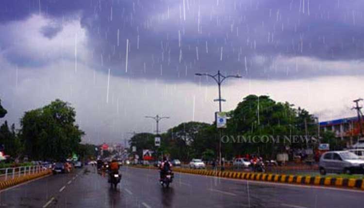
Bhubaneswar: The Indian Meteorological Department (IMD) in its special day bulletin on Wednesday stated that the low-pressure area over the Northwest and adjoining west-central Bay of Bengal off south Odisha-north Andhra Pradesh coasts has become less marked. However, due to the active monsoon conditions, rainfall will likely occur over many parts of peninsular central and adjoining East India including several districts of Odisha for the next 3-4 days.
As per IMD’s special bulletin, the associated cyclonic circulation now lies over south interior Odisha and neighbouring states and extends up to 7.6 km above mean sea level tilting southwestwards with height.
Due to the active monsoon conditions, several districts of Odisha have recorded more than 100 mm rainfall in the last 24 hours. Further, the IMD warned of light to moderate rain or thundershower for the next 3-4 days for various districts.
Moreover, heavy rainfall is very likely to occur at one or two places in most places of various districts of Odisha in the next 24 hours.
Yellow warnings have been issued for districts likely to receive heavy rainfall.
On Day One, Yellow warning has been issued for districts including Malkangiri, Koraput, Rayagada, Gajapati, Kandhamal, Kalahandi, Nabarangpur, Nuapada, Bolangir, Bargarh, Jharsuguda, Sundargarh, Sambalpur, Deogarh, Keonjhar, Mayurbhanj, Angul and Balasore. Similarly, on Day Two, heavy rainfall will likely occur at some isolated places in various districts including Bargarh, Sambalpur, Jharsuguda, Sundargarh, Deogarh, Angul, Keonjhar, Mayurbhanj, Balasore, Bhadrak, Kendrapara, Jagatsinghpur and Jajpur. On Day three, heavy rainfall is very likely at some places of Jharsuguda, Sundargarh, Keonjhar, and Mayurbhanj.


