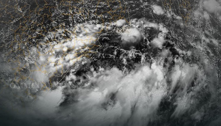
Bhubaneswar: Yesterday’s Low Pressure Area over Westcentral & adjoining Northwest Bay of Bengal off north Andhra Pradesh south Odisha coasts now lies as a Well-Marked Low Pressure Area over the same region and the associated cyclonic circulation extends upto mid-tropospheric levels.
It is likely to concentrate into a depression over Northwest & adjoining Westcentral Bay of Bengal off south Odisha – north Andhra Pradesh coasts during the next 24 hours.
Under its influence, fairly widespread/widespread rainfall with isolated heavy falls and thunderstorm/lightning is very likely over Odisha during the next five days. Isolated very heavy rainfall is also likely over Odisha on September 10 and 11.
Today, heavy to very heavy rainfall (7 to 20cm) is very likely to occur at isolated places over the districts of Gajapati, Ganjam, Kalahandi, Kandhamal, Nawarangpur, Rayagada, Bolangir, Koraput, Boudh, and Nayagarh.
Similarly, heavy rainfall (7 to 11cm) is very likely to occur at isolated places over the districts of Nuapada, Sonepur, Dhenkanal, Jajpur, Bhadrak, Kendrapada, Jagatsinghpur, Khordha, Cuttack, Balasore, Mayurbhanj, Puri, Keonjhar, Malkangiri, Bargarh, and Angul.


