


Bhubaneswar: The India Meteorological Department (IMD) on Wednesday confirmed that the low-pressure area over Gangetic West Bengal and its neighbourhood persists, causing unsettled weather conditions in Odisha and nearby regions. The associated upper-air cyclonic circulation extends up to 7.6 km above mean sea level and tilts southwestwards with increasing altitude, intensifying the system’s impact.
The low-pressure area is expected to move west-northwestwards across Jharkhand in the next 24 hours, gradually weakening thereafter. Meanwhile, a fresh low-pressure system is likely to develop over the northwest Bay of Bengal, off the Odisha-West Bengal coasts, around August 25.
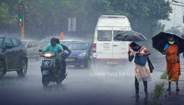
In response to the prevailing weather conditions, the IMD has issued an ‘Orange’ warning for heavy to very heavy rainfall, accompanied by thunderstorms, lightning, and gusty surface winds reaching speeds of 30–40 km/h. This warning specifically covers one or two places in the districts of Sundargarh, Keonjhar, Jharsuguda, and Bargarh for August 24.
A ‘Yellow’ warning has also been issued for similar weather conditions affecting districts including Sambalpur, Deogarh, Angul, and Mayurbhanj, along with Balasore, Bhadrak, Jajpur, Kendrapara, Cuttack, Jagatsinghpur, Dhenkanal, Puri, Khurda, Nayagarh, Ganjam, and Gajapati.
The IMD’s forecast for August 25 indicates that the ‘Yellow’ warning will continue for heavy rainfall and thunderstorms with gusty winds (30–40 km/h) across multiple districts such as Mayurbhanj, Keonjhar, Sundargarh, Jharsuguda, Balasore, Bhadrak, Jajpur, Kendrapara, Cuttack, Jagatsinghpur, Bargarh, Sambalpur, Deogarh, Angul, Dhenkanal, Puri, Khurda, Nayagarh, Ganjam, and Gajapati.
The department further extends the ‘Yellow’ warning for similar weather across Odisha until August 28.
The IMD has strongly advised fishermen not to venture into the sea along and off the Odisha coasts, as well as over the North Bay of Bengal on August 23 and 24, due to rough sea conditions.


