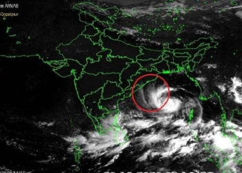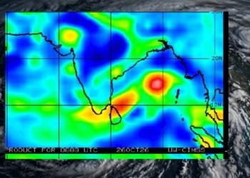







Bhubaneswar: The low pressure over Northwest Bay of Bengal and adjoining North Odisha – West Bengal coasts has now concentrated into a well-marked low pressure area over the same region at 8:30 today.
AS per latest weather update, the associated cyclonic circulation extends up to 7.6 km above mean sea level and is tilting southwestwards with height. The system is very likely to move northwestwards across North Odisha and Gangetic West Bengal during the next two days.
It is pertinent to mention that Odisha witnessed widespread heavy to extremely heavy rainfall in the last 24 hours, with Banki in Cuttack district recording the highest 210.0 mm.
Two stations across the state reported extremely heavy rainfall, while 10 stations recorded very heavy rainfall and 69 stations logged heavy rainfall.