


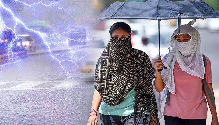
Bhubaneswar: The India Meteorological Department’s Bhubaneswar Meteorological Centre, today placed nearly the entire state under a series of yellow warnings, cautioning against intense thunderstorms with lightning and gusty winds, heat wave to warm night conditions in interior pockets, and rough to very rough sea conditions. Fishermen have been explicitly advised not to venture into the sea along and off the Odisha coast for the next five days, from April 27 to May 1.
No significant synoptic system lies over the region, but pre-monsoon convection is expected to drive widespread hazardous weather through the week.
Thunderstorm & Lightning: Gusty surface winds reaching 30–40 kmph (escalating to 40–50 kmph on some days) are very likely at isolated places during afternoon/evening hours across multiple districts every day. The warning covers coastal, interior, and southern districts like Keonjhar, Mayurbhanj, Sundergarh, Balasore, Bhadrak, Jajpur, Cuttack, Jagatsinghpur, Ganjam, Gajapati, Rayagada, Koraput, Malkangiri, Nawarangpur, Kalahandi, Kandhamal, and many more.
Heat Wave: Isolated heat wave conditions very likely over Jharsuguda, Bolangir, Kalahandi, Boudh, Nayagarh, and Sonepur on Day 1 through Day 3.
Warm Night: Very likely at isolated places over Jharsuguda, Bolangir, Kalahandi, Boudh, Nayagarh, Sundergarh, Sambalpur, and Sonepur.
Hot & Humid: Isolated pockets of coastal districts — Balasore, Bhadrak, Jajpur, Kendrapara, Cuttack, Jagatsinghpur, Puri, Khurda, Nayagarh, Ganjam, and Gajapati — will experience uncomfortable hot and humid weather.
Fishermen Warning: Squally weather with wind speeds of 50–60 kmph gusting to 70 kmph on April 27–28, and 45–55 kmph gusting to 65 kmph from April 29 to May 1. Sea condition is very likely rough to very rough; fishermen are advised not to venture into the sea during this entire period.
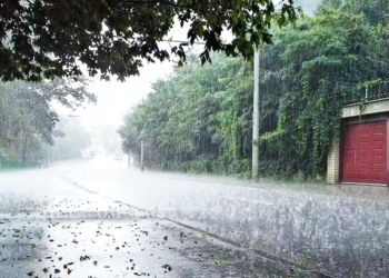
In the past 24 hours, light to moderate rainfall occurred at isolated places in Mayurbhanj and Nawarangpur (G B Nagar: 2 cm, Bijatala: 2 cm, Balimundali: 1 cm, Chandahandi: 1 cm, Tiring: 1 cm). Dry weather prevailed elsewhere.
The highest maximum temperature of 44.8°C was recorded at Jharsuguda and the lowest minimum of 23.0°C at Jagatsinghpur. Bhubaneswar recorded a maximum of 35.5°C, a minimum of 27.6°C, with relative humidity between 86% and 55%.
Day-wise Alert Summary
Day 1 (valid till 08:30 IST, April 28): Yellow warning for thunderstorm with lightning and gusty winds (30–40 kmph) in 21 districts; heat wave, warm night, and hot-humid warnings as above.
Day 2 (April 28–29): Similar thunderstorm warning continues; heat wave and warm night warnings unchanged.
Day 3 (April 29–30): Thunderstorm and heat wave/warm night warnings persist.
Day 4 (April 30–May 1): Intensity increases: wind speeds 40–50 kmph in Balasore, Bhadrak, Jajpur, Kendrapara, Cuttack, Jagatsinghpur, Rayagada, Gajapati, Ganjam, Kandhamal; 30–40 kmph in surrounding districts.
Day 5 (May 1–2): Thunderstorm with lightning and gusty winds likely across all districts; 40–50 kmph in parts of Mayurbhanj, Keonjhar, Deogarh, Kalahandi, Bolangir, Kandhamal, Rayagada, Gajapati, Ganjam, Nawarangpur, Koraput, Angul, Dhenkanal.
Day 6 & 7 (May 2–4): Thunderstorms gradually confined to southern, western and northern districts; hot & humid conditions persist along the coast.
Outlook for May 4–7 indicates no large change.


