


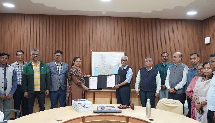
Rourkela: The National Institute of Technology Rourkela (NIT Rourkela) has entered into a five-year Memorandum of Understanding (MoU) with the Survey of India (Odisha & Chhattisgarh Geo-Spatial Directorate) to strengthen collaboration in geospatial science, mapping technologies, and advanced research in engineering and science.
The agreement, signed on Wednesday (February 11, 2026), aims to promote joint research, academic exchanges, and technical cooperation in line with the National Geospatial Policy–2022. The partnership brings together the Survey of India’s longstanding expertise in national mapping and geodesy with NIT Rourkela’s strengths in geodynamics, remote sensing, earth sciences, and climate studies.
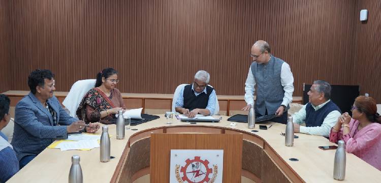
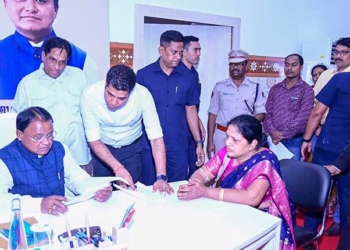
The MoU was signed by Prof. K. Umamaheshwar Rao, Director, NIT Rourkela, and Swarnima Bajpai, Director, Odisha & Chhattisgarh Geo-Spatial Directorate, Survey of India. The initiative was facilitated by Prof. Kishanjit Kumar Khatua of the Department of Civil Engineering, NIT Rourkela, along with Bharat Kumbhar and Ashish Kaushal from the Survey of India. Senior officials, faculty members, and officers from both institutions were present on the occasion. The Survey of India team also presented Geodetic Asset Registers to the Director of NIT Rourkela during the ceremony.
Addressing the gathering, Prof. Rao described the collaboration as being of national significance, aligning with India’s increasing focus on geospatial governance, digital mapping, climate resilience, and infrastructure development. He noted that the partnership would contribute to precision geospatial infrastructure, environmental monitoring, sustainable planning, and disaster risk management. He also highlighted the historical legacy of the Survey of India, established in 1767, and its foundational role in nation-building.
Swarnima Bajpai said the MoU marks an important step in integrating the rich legacy of the Survey of India with academic excellence. She emphasised that collaboration with institutions like NIT Rourkela would help bridge the gap between theory and practice, strengthen geospatial education and research, and contribute meaningfully to national development.
Under the agreement, NIT Rourkela will provide expert consultation on complex geodetic surveys and extend research-based support for the professional development of Survey of India personnel. The Institute will also offer specialised training, higher education opportunities, and access to research facilities. The collaboration will utilise advanced national infrastructure such as Continuously Operating Reference Stations (CORS) for scientific and applied studies.
The MoU provides that intellectual property generated independently will remain with the originating institution, while jointly developed outcomes will be co-owned. It will also facilitate knowledge sharing, curriculum enrichment, skill development, workshops, and conferences, thereby strengthening long-term institutional capacity.
The partnership is expected to further enhance India’s geospatial research ecosystem and support national priorities in precision mapping and sustainable development.


