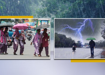
Bhubaneswar: After a brief lull, Odisha is likely to experience another wet spell from Thursday under the influence of a fresh low-pressure area over the Bay of Bengal.
According to the India Meteorological Department (IMD), a cyclonic circulation is now active over south Odisha, north Chhattisgarh and north Andhra Pradesh and it will gradually move away Odisha resulting in decreased rainfall activity in the state. However, a fresh low-pressure area is likely to be formed over the Bay of Bengal Wednesday or Thursday.
The fresh low-pressure area (LoPAR) is likely to condense and turn into precipitation. Therefore, there is a fear that the effect of rain will increase again from Thursday. The weather office forecasted heavy rainfall for three days in Odisha from Monday. The rainfall activity will increase from Thursday. Heavy rainfall may occur in several places in Deogarh, Sambalpur, Angul, Dhenkanal, Nayagarh, Khurda, Cuttack, and Puri districts on Thursday.
On the other hand, mixed weather was experienced in different parts of the state on Sunday. During the day, the weather remained dry in some places, while it rained in some places. The state received an average of 20 mm of rainfall in the last 24 hours.
During this monsoon, the state received 824.9 mm of rain from June 1. As of date, the state is experiencing 10 per cent rain deficit. So far, one district has received more than normal rainfall, while 20 districts have recorded normal rainfall and nine districts have recorded below normal rainfall, the IMD said.


